Aerial
Drone Services
Unmanned Aerial Systems
Advanced Aerial Mapping
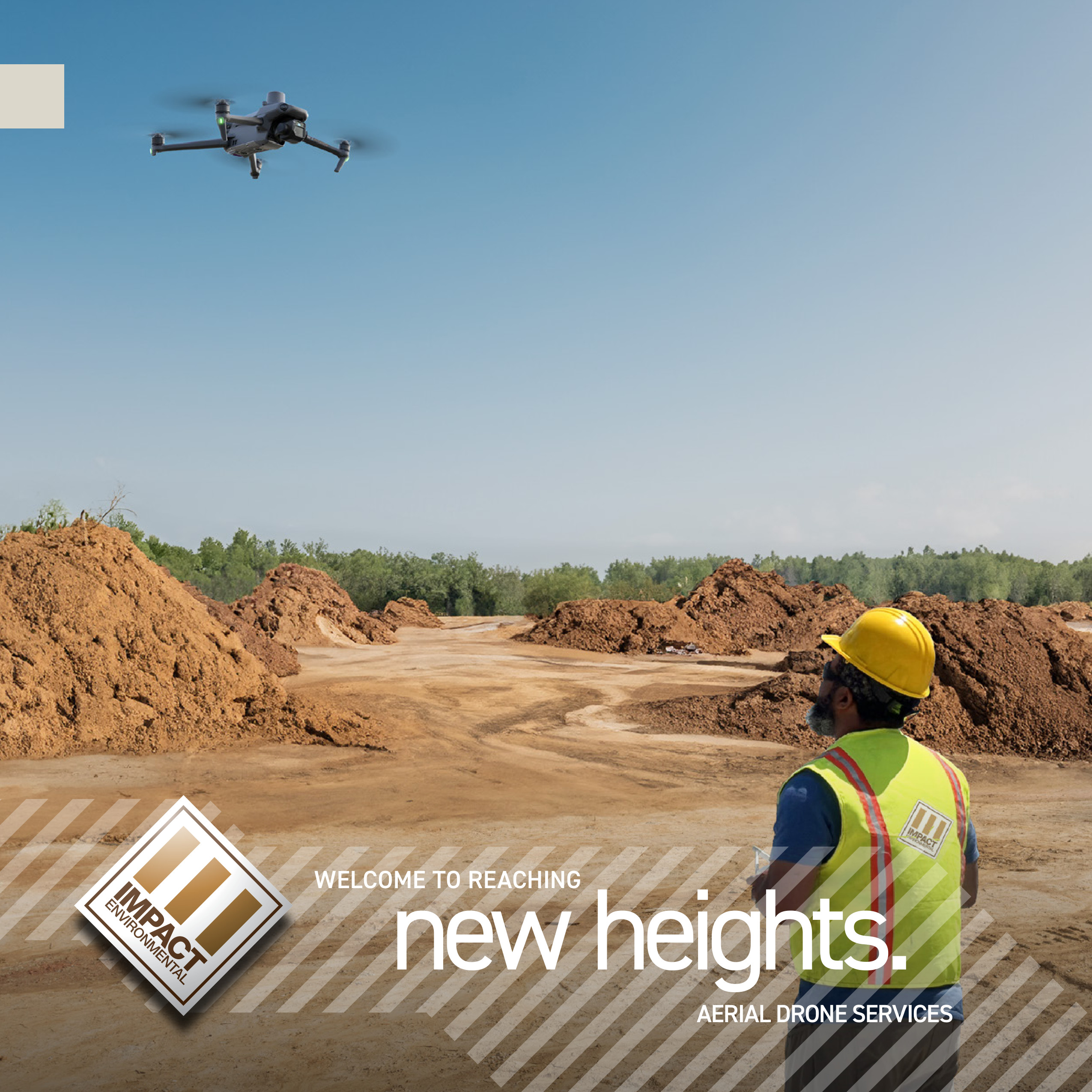
Unlock the full potential of your projects with Impact Environmental’s cutting-edge drone mapping solutions. Designed to amplify your capabilities and set new industry benchmarks, our services harness the power of advanced drone technology to deliver unmatched precision, efficiency, and insights for your construction and environmental needs—especially in urban areas where access is challenging.
With nearly a decade of experience, our team operates multiple drone platforms equipped with state-of-the-art sensors, managed by certified pilots who are experts in their field. We’ve successfully provided drone mapping services across several states, strictly complying with all local and federal regulations to ensure safety and reliability.
At Impact Environmental, we’re committed to elevating your operations by offering cost-effective and secure monitoring solutions. Our advanced drone and aerial photogrammetry services empower you to make informed decisions to optimize outcomes across various applications—including facility management, agricultural management, and project management—embrace the future of technology-driven operations.
Experience the difference that precision and innovation can make. Partner with Impact Environmental and redefine what’s possible.
FEDERAL AVIATION ADMINISTRATION (FAA) | PART 107 CERTIFIED DRONE PILOTS

Our Quality Assurance Protocols
At Impact Environmental, we are committed to delivering high-quality data with unmatched precision and reliability. Our advanced drone mapping technology and meticulous quality control processes set industry benchmarks for accuracy:
- Horizontal Accuracy: Up to 10mm
- Vertical Accuracy: Up to 25mm
This exceptional precision is crucial for applications demanding exact measurements, including engineering surveys, construction planning, facility management, agricultural management, and maintenance inspections.
- Data Verification: Multiple ground control targets ensure data integrity and consistency.
- Advanced Technology: High-resolution sensors and field GPS systems capture precise data.
- Expert Analysis: Our specialists meticulously analyze data to correct any discrepancies.
By integrating cutting-edge technology with experienced professionals, we minimize spatial drift and reduce project inaccuracies. Our focus on accuracy empowers you to make informed decisions with confidence.
✕
Enables contractor support to extract precise distance, area, and volume measurements directly from the geospatial model for planning, estimation, and verification purposes.
Orthomosaic Maps & Aerial Imagery
Visualization/Map
✕
Capture detailed, high-resolution aerial views of your site for planning, monitoring, and marketing purposes. Our orthomosaic maps provide accurate representations of your project area, stitched together seamlessly for comprehensive analysis.
Site Planning Maps with Alphanumeric Grid
Visualization/Map
✕
Enhance your site planning with precise maps featuring alphanumeric grids and designated areas. This allows for easy navigation, location referencing, and efficient communication among your team members.
Volumetric Assessments
Analytical Report
✕
Accurately measure stockpile volumes, earthworks, and excavation needs with our volumetric analysis services. Save time and reduce errors with precise calculations.
Elevation & Topographic Maps
Visualization and Analytical Report
✕
Gain insights into terrain elevations and landforms to inform your planning and engineering decisions.
Cut and Fill Assessments
Visualization and Analytical Report
✕
Optimize construction efforts by accurately determining material requirements for site grading.
Slope and Aspect Data
Visualization and Analytical Report
✕
Analyze terrain slopes and aspects to assess stability and plan for construction or agricultural activities.
Routine Progress Monitoring
Analytical Report
✕
Keep stakeholders updated with regular aerial data that track the progress of your projects. Identify potential issues early and ensure your project stays on schedule.
As-Built Captures & Inspections
Visualization and Analytical Report
✕
Document completed work with high-resolution imagery and 3D models. Our as-built captures provide an accurate record for future reference and compliance.
3D Site Models & Structure Renderings
Visualization
✕
Visualize your project in three dimensions. Our detailed 3D models help in planning, design validation, and presenting concepts to clients or investors.
SWPPP Inspections & Drainage Mapping
Visualization and Analytical Report
✕
Ensure compliance with Stormwater Pollution Prevention Plans (SWPPP). We provide detailed drainage maps to help manage runoff and prevent erosion.
Surface Hazards Mapping
Visualization and Analytical Report
✕
Identify and mitigate potential surface hazards with our comprehensive mapping services. Protect your team and equipment by staying informed about site conditions.
Site Showcase & Marketing
Visualization
✕
Enhance your marketing efforts with stunning aerial photography and videography. Showcase your site’s progress, highlight key features, and attract potential clients or investors.
Agricultural Quality & Irrigation Maps
Visualization and Analytical Report
✕
Optimize crop health and yields with detailed reports that assess soil quality, plant health, and irrigation efficiency. Make informed decisions to enhance agricultural productivity. Correct problematic areas before they spread.
Photovoltaic Maintenance & Monitoring
Analytical Report
✕
Maintain the efficiency of your solar installations. Our drone inspections quickly identify issues like panel damage or inefficiencies without the need for manual checks.
On-Demand Deliverables
Requested File Formats
✕
Access the data you need when you need it. Our flexible services allow for quick turnaround times to keep your project moving forward.
Data Capture for Client Processing
Requested File Formats
✕
Receive raw data tailored to your specifications for further analysis. We ensure compatibility with your existing software and processing workflows.